Thursday, November 3, 2011

France 2011, Sep 22, Mont Ventoux

Our last day of riding. We decide to climb the "giant" one more time. This time from Sault, the very north ridge of the mountain. It is the easiest approach until the last 6 km when it joins the road from Benoit. It was a beautiful day, no clouds, and very little wind.

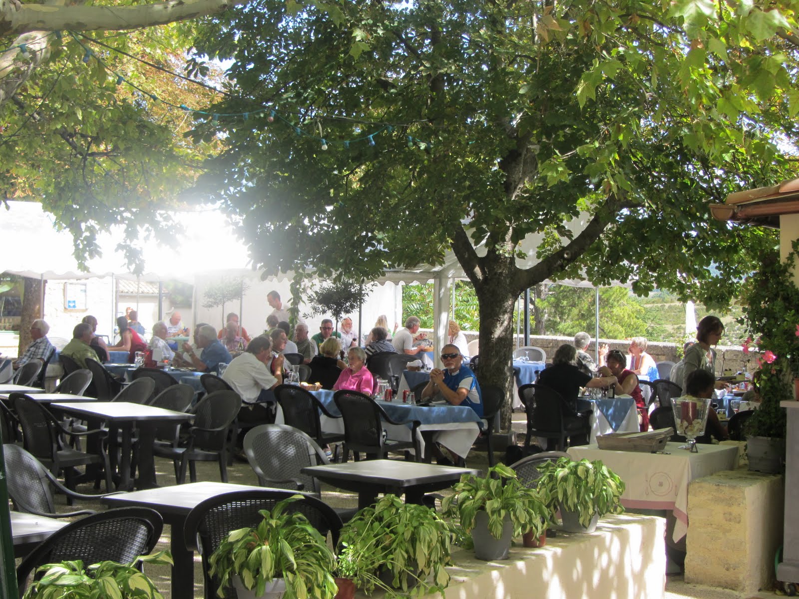
When starting a ride we often look for a Tobac (small place they sell cigs, beer, coffee, hot chocolate etc) We found one in Sault and asked about the "toilet". We were pointed up a circular staircase about 3 feet wide. Nothing at the top. Halfway up a very small door. Inside was crammed a toilet. We swear it had to be set and then the very thin walls put up after. No way to take an adequate pic. You had to be there. Hilarious.

On the way up this approach there we some very nice forests to ride through. Most of the grades were around 4-5 %.


There were three professional photographers I saw on the way up. None on the day we climbed in the Mistral. They shoot your picture and a helped above runs out with their card and contact info.

In this picture I have about 3-4 km to go. This is my third time up the mountain. Have climbed it from all three approaches. Lots of other bike riders, motorcyclists, and cars going up this time.


The top was like a hornets' nest of people. This pic taken by a Dutchman who I saw several times on the way up as was the next pic.


This is the weather station at the top. It is huge and I suspect it has some military function as well because there were 3 passes by fighter jets that we saw.


This is looking down the north side and the road approaching from Malaucene. We did this climb in September of 2009.

That it for this trip folks. Had a great time. A bucket list trip. I am tired. Ready for some time off and the flat rides. I love riding my bike, almost anywhere, anytime. It is truly a privilege to be able to do so at age 70.


France 2011, Sep 21, Gorge de la Nesque

On the 20th I visited friends in the Luberon. They have a house in Goult. So on the 21st we decided to take it easy and look at the Gorge de la Nesque.

The ride starts by traveling up a long ridge on the south east side of Mont Ventoux. In the picture below you see the "Giant" on a clear day.


We stopped at a great out door restaurant at the the top of the gorge for a nice lunch. Best one we had seen in the small villages during the trip. Sorry for the lousy picture.


Then a view riding down the edge of the gorge itself. Note on the right edge of the picture, the southeast face of Mont Ventoux. Very nice an relaxing day


Wednesday, November 2, 2011

France 2011, Sep 19, Mont Ventoux in a Mistral

This was a crazy day. Weather predicted a Mistral. This is a north wind that comes down the Rhone valley when there is a high over the eastern atlantic and a low over the low countries. It then creates a wind that roars down the Rhone valley.

When we got up it was nice an warm, a little breezy and looked good for a ride up the Bedoin side of Mont Ventoux, the side the pros usually use, as we had never done that.

We rode from Carpentras to Bedoin and took this pic. Note that you cannot see the top of Mont Ventoux. Also note the name. Vent-tous (always windy) in English. Little did we know. Off we went.

I know, I took this pic on the way down. This route is the hardest of the three routes up the Ventoux. Several kilometers of average of 10% or greater. We didn't get too warm on the way up so stopped at the little shop and restaurant 6 km from the top. A man (T.W.) insisted I take his leg warmers. He was on his way down and we watched as he drank 4 hot chocolates. Then he began shivering. We took off for the top.
The top. I do not have my bike as I cannot hold it and stand at the same time. I am leaning into the wind. Winds recoded that day on top were around 100 km in gusts. We were crazy. Had to walk up the last 200 meters and get in the lee of the weather station.

Post script: I found TM in Canada and talked to him. He was coming to Denver so I gave him his leg warmers and a drink. He agreed we were all crazy because we were limited on time and thought we had to do it NOW. NOW!! A great killer of athletes.

Thursday, October 27, 2011

France 2011, Sep 17, 18, Transition to Provence

At the end of Pyrenees tour we had a great outdoor dinner. The resturant was excellent, the talk jovial, and the wine and beer relaxing. It was a great tour.


We drove about 370 miles back across France. We based in Carpentras, a town in Provence. The town was good, but the parking really tight. I was 70 years young on this day. Riding my bicycle in Provence.
I won the lottery.


A s I said above, the town was old and the streets small. Our Hotel had almost no front, but a very nice garden in the back. As you can see, parking is almost nonexistant. The hotel had a parking garage which was off a very busy street and not easy to get in or out of.


My birthday dinner with Jim and Susan. A good time was had by all. We were in walking distance of severl great resturants. The french know how to do it.


Thursday, October 13, 2011

France 11, Sep 16, Soulor and d'Obisque

This was our last day of cycling in the Pyrenees and it was going to be a doozy. Over two Cols and 82 miles of riding. We started west from Lourdes along a nice valley road toward Pau our eventual termination of the ride. BUT, we then abruptly turned left towards the mountains.

Here in the foothills of the Pyenees are some beaudiful farms in some areas. Other area look quite poor and the villages are definitely more primitive than in some other parts of France.


This is a typical view as you leave the foothills and head into the real canyons of the Pyrenees. We are going to really climb today.


The SIGN. You know its famous when you see this kind of sign. We are going up 2,800 feet in 7.5 miles. Parts of it are really going to be steep. Keep in mind we have been gently climbing for several miles (about 12) before coming to this sign.


A Look back as we climbed to the top of Col du Soulor. If you look closely you can see the road we came up. (left click on the picture for an enlarged view)


The top of Col du Soulor was crowded with tourists and sheep. Sheep were bedding down in the parking lot with the cars. We were told it was because the cars were warm. Then its down towards the west for abou 3 miles and onto a spectacular road.


To travel from the Soulor to the Col d'Obisque we travel the road on the side of the mountain. I actually took this picture as I climbed up the Col du Soulor. Most of the time I was hoping it didn't come down while I was on it.


Actually being on the road was ok. It turned out that the main problem were the tunnels. There was one curved tunnel with absolutely no lighting and water dripping down everywhere. You just had to ride and hope for the best.


Now in the high country with the sheep again. Susan and Jim had to do some herding . The sheep really pay little attention to the cars and riders.


Another trophy. This one was very satisfying after the long climb. I think I am losing weight.


Some nice art work at the top of Col d'Obisque. Not so crowded so I was able to get a picture without tourists in it.


Now the descent. This is the view to the west. As we head down we will turn to the right and out of the mountains.


Down into the villages and along the valley into our final stop, Pau. We started from Pau 6 days earlier and had some great climbing rides. I am ready to stop, though, as I am getting weary of slogging up climbs or screaming down descents. I must admit that the descents are really exilerating. There was very little gravel or other debris on the road which made it much safer.


Friday, October 7, 2011

France 11, Sep 15, 'Aspin and Tourmalet

This was the big day in the Pyrenees, lots of climbing, but mainly because the Col du Tourmalet, and also the Col d'Aspin are such fixtures in the TDF. It was a beautiful, crisp, fall day at the start, with a temperature of about 50 degrees.

We drifted out of town, down the valley, and came to another fateful sign signalling several hours of climbing ahead. I enjoy climbing. You are going slowly enough to really see the scenery and you and your body get into a rhythm which is really very satisfying. I like to climb with a heart rate of about 145 bpm. I am not particularly stressed and can generate about 200 watts into the rear wheel with that effort.

This is a look back at the town we have just left. You can see the river in the middle.

This is a look up to the Col d'Aspin. Not particularly high, but plenty of climbing to get to the top.

The top of the first Col of the day. Not particularly impressive but the views are spectacular. I never get tired of looking at mountains. No attacks by cows on the way up, but I did see several herds.

How about this view from the Top of the Col d'Aspin towards the Tourmalet? The Col du Tourmalet is to the left of the massif with the weather station on top. So, its down, down, down, followed by up, up, up.

Up we go. La Mongie is a ski station, as they call them here about 5 km from the top of the Col.

There were several snow sheds on the way up. They use them a lot in Europe because of the heavy snow and the constant avalanche danger in many areas. A nice road, much better than many in the Pyrenees.

A look back to the road I have just climbed. One interesting thing to me is looking down on the power station. There are two buildings at the bottom of this cut which contain hydroelectric turbines. They appear to be working on the pipes which carry the water down to the turbines. I guess they produce electricity for the valley and are seen frequently around France.

The ski station of La Mongie. It is about 5 km from the top, and you can see the road snaking its way up. It was strange to me that the road was very steep around the ski station and averaged 11% for several km.

The final km shot backwards after I have climbed to the top. The top was crowded with people, cars, RVs and bicycles.

The top. I don't know why the photographer cut off part of the Tourmalet sign, but at least he got the whole statue of the bike racer.

And a way we go. Miles and miles of descending. A lot more dangerous than climbing. Often competing with cars on the way down. Sure is fun to go fast, though. Very similar to skiing.

Arriving in Lourdes, appropriate to see a nice cross on the way in. They are all over the Pyrenees. Incidentally, there are more hotel rooms in Lourdes than any other city in France except Paris.

Thursday, October 6, 2011

France 11, Sep 14 Pla-d'Adet

This, the 3rd day of our tour, is a "rest" day. Only about 4-5,000 feet of climbing, depending on which option you take. Susan opted to stay in town and rest, while Jim and I wanted to climb to the ski resort Pla-d'Adet, because it was the finish of the only stage the American, George Hincapie, ever won (so far) in the TDF. We skipped the other climb which is not as famous, so we only got about 4,500 ft of climbing in 30 or so miles.

The town we are staying at for two days, Arreau, is at the confluence of two small rivers. The rivers create quite a beautiful sight when they combine in the middle of town, with the streets and houses on either side.

This is the approach to the climb to Pla-d'Adet. Looks pretty benign until you spot the road going up the side of the mountain in the upper right of the picture. Right on up to the clouds.

Up we go. 2,500 ft of climbing in 6.5 miles. This baby is up, up, and away.

Pla-d'Adet. All ski resorts look terrible in the summer. Lots of construction going on. We ate in the small cafe with several of the workers. Everyone had a beer with lunch except us. Several tables had a carafe of wine at the table but we didn't see anyone drink any.

Jim S. at the top. He is still tough as ever and loves riding hard.

This is where we came from. The views are wonderful, but don't show too well in photographs. Left click on the photos to blow them up to full screen size.

A look down at the village from the road on the way down. You can just see the road below on the bottom left of the pic, and the rock wall on the road I am standing on at the bottom right.

Tuesday, October 4, 2011

France 11, Sep 13 Pt de Bales, Col de Payresourde

Today we really start climbing. Over two passes the Port de Bales (which is called a port because it separates two departments or counties) and the Col de Peyresoudre, both often used in the TDF. We climbed around 7,000 feet today. For example, the 3,750 ft climb to Port de Bales is 11.8 miles.

Beautiful country and very pastoral. Wonderful little villages and nice people. Cars virtually always courteous. A great day.

We're going up there? Yep.

Up we go!

Had some company on the way up. The cow on the right walked right up to my front wheel and spooked me. I was frantically putting my camera away and trying to steer clear. He just stopped and watched me. Pretty funny in retrospect.

A pretty puny sign at the top.

Lawrence was busy making lunch and I didn't want to disturb him to take my picture. They do a pretty good mid-day lunch on this tour. The guides tell me it is the same on all their tours.

A nice little ski village off the southwest side of the Port de Bales.

The view southwest into Spain.

Oh, man! Up we go to the right. Got really hot today. Supposedly 90 degrees part way up.

Finally on top after 7,000 ft of climbing.

Our small town, Arreau, at the end of this great day.